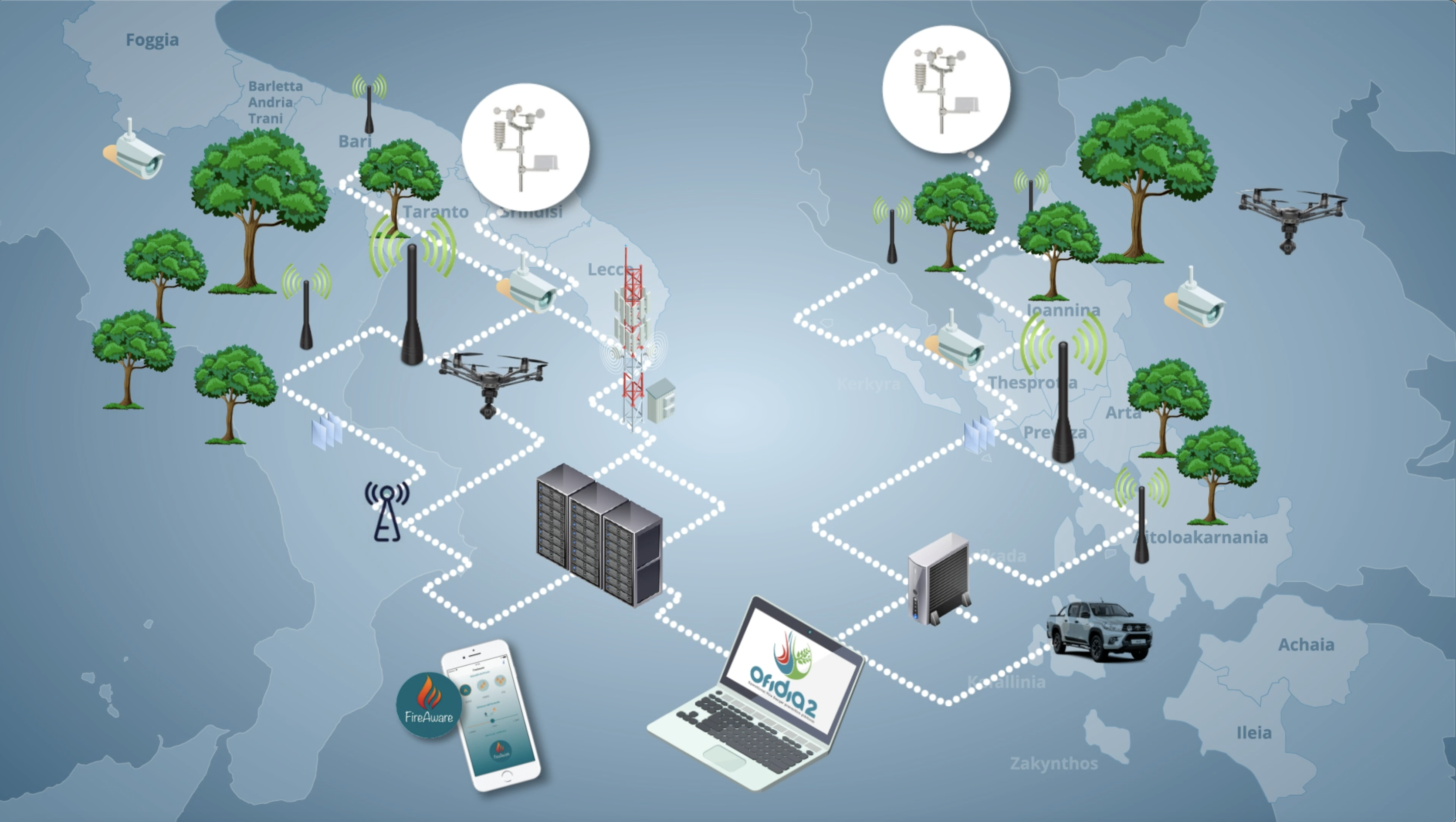
Fire management is an important approach to reduce damage caused by fires. In this context, real-time ICT platforms are strongly needed. However, Apulia and Epirus (the cross-border regions of the Interreg Programme) have faced many structural difficulties in obtaining updated information on the current state of their forests. To tackle this problem, a dashboard able to process data streams from wireless sensors networks, weather stations, video cameras and drones will be developed in OFIDIA2. It will make the data available in the form of a set of indicators that are essential to support real-time decision-making in fire risk monitoring. The dashboard will be built on open-source frameworks, it will make use of geo-services complying with the standards of the Open Geospatial Consortium (OGC) and will leverage a Wireless Sensors Network to monitor the forests in the Apulia and Epirus regions. The analysis of the indicators available in the fire events that the dashboard will provide forest managers with is a key information required for the decision-making process involved in fire risk management.
OFIDIA2 network in Apulia and Epirus
